Caspian Basin


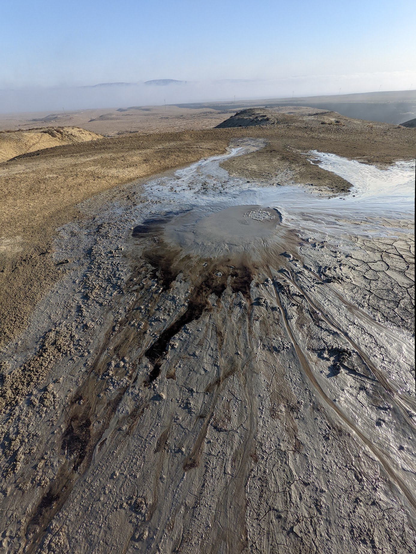
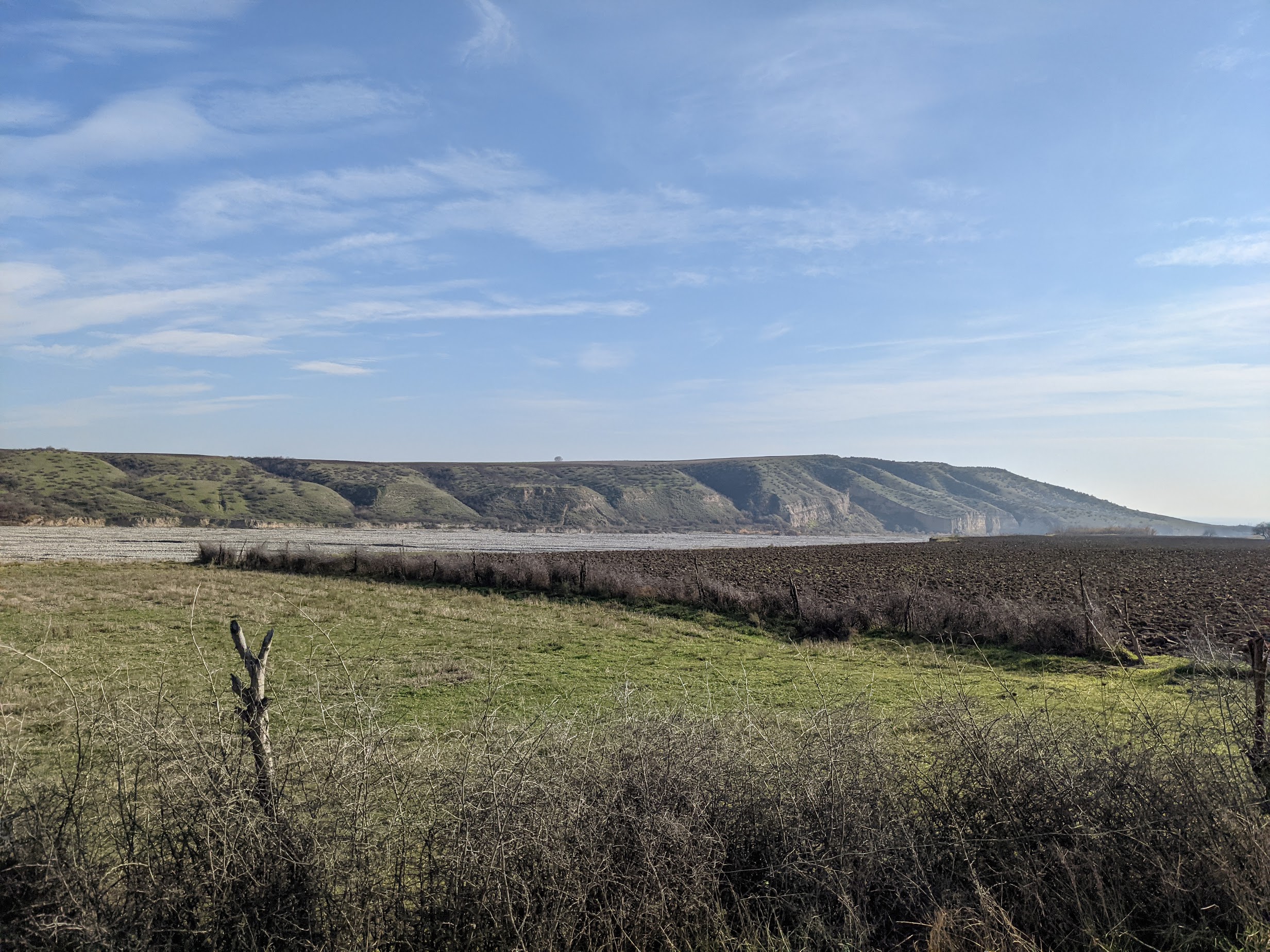
I am currently developing a study of the transition from strike slip faulting in the west Caspian Sea to continental subduction in the Caucasus Mountains. In this study I am combining observations from 3D marine seismic data, GPS and satellite geodesy, seismicity, satellite and bathymetric imagery, and paleoseismic trenching to develop a 4D model of how this triple junction in Azerbaijan transfers a centimeter per year of plate motion from pure compression under the Caucasus to pure shear in the offshore Caspian Sea. The first stages of this project involve using Quaternary geochronology to determine the timing of major climatic events that have affected the sea level of the Caspian as evidenced in both the seismic data and on the landscape. These landform processes allow for the measurement of currently unknown rates of fault movement. Simultaneously I am studying the timing and locations of catastrophic earthquakes by both analyzing historical records and excavating paleoseismic trenches, artificial exposures of the most recent surface ruptures. The results of this study will have important implications not only for local earthquake hazards, but also for understanding the tectonic history and development of the Alpine-Himalayan orogeny, the mechanics of triple junctions, and long term sedimentary basin closure processes.
